trAILs
Alpine Industrial Landscapes Transformation
Home
Outcomes
Pilots
Resources
More
News & Events
Overview
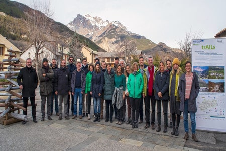
In the Alps, like elsewhere, the decline of the traditional heavy and manufacturing industry left behind impressive once-productive landscapes. These abandoned complexes can be revived and devoted to new purposes, with a transformation strategy geared to the natural, social and economic challenges each area faces. trAILS worked with the local communities of 4 pilot sites to give a new life to former industrial areas and devised tools for salvaging this heritage across the Alps: a webGIS map, an assessment tool, co-design procedures and learning modules.
Factsheet
- 2014 – 2020
- Liveable
- Sustainably valorise Alpine Space cultural and natural heritage
-
- Group 6: To preserve and valorise natural resources, including water and cultural resources
- 04/2018
- 05/2021
- 2.187.400 EUR
- 1.859.290 EUR
Partners
Technical University of Munich (Lead partner)
- Lead partner
- Germany
- Oberbayern
- Freising
- Udo Weilacher
- weilacher@lai.ar.tum.de
BSC, Business support centre L.t.d. Kranj
- Slovenia
- Zahodna Slovenia
- Kranj
University of Verona
- Italy
- Veneto
- Verona
Polytechnic University of Milan
- Italy
- Lombardia
- Milano
TU Wien (Vienna University of Technology)
- Austria
- Wien
- Wien
LAMORO Development Agency
- Italy
- Piemonte
- Asti
University of Ljubljana
- Slovenia
- Zahodna Slovenia
- Ljubljana
Architecture, Urbanism and Environment Council of Vaucluse department
- France
- Provence-Alpes-Côte d'Azur
- Avignon
E-institute, institute for comprehensive development solutions
- Slovenia
- Vzhodna Slovenia
- Ptuj
Registered association Styrian Iron Route
- Austria
- Steiermark
- Eisenerz
- 48.400299411.7195951
- 46.246576514.3644724
- 45.437735911.0021606
- 45.47780839.2272468
- 48.1985396516.369861676286614
- 44.90223978.2071723
- 46.0493135514.474685045652379
- 43.94924934.8059012
- 46.41779384999999515.874832466351261
- 47.541796214.8865854
Outcomes
-
Assessment Tool for Alpine brownfield transformation
ToolThe Assessment tool provides the necessary methodological guidelines to carry on an interdisciplinary and multi-thematic assessment of Alpine brownfield sites.; ; ; ; ; ; ; ; ; ; ; ; ; ; ; ; ; ; ; ; ; ; ; ; ; ; ; ; ; ; ; ; ; ; ; ; ; ; ; ; ; ; ; ; ; ; ; ; ; ; -
trAILs WebGIS
ToolThis webGIS contains survey data from the trAILs brownfield survey conducted by regional partners in the four pilot regions of the trAILs project.; ; ; ; ; ; ; ; ; ; ; ; ; ; ; ; ; ; ; ; ; ; ; ; ; ; ; ; ; ; ; ; ; ; ; ; ; ; ; ; ; ; ; ; ; ; ; ; ; ; -
Alpine Industrial Landscapes Transformation
StrategyThe project handbook presents the project aims, activities and the achieved results.The project main outputs, tools as well as the planning and policy recommendations and the learning module are also integrated.