Floods and other weather-related hazards are becoming more frequent, more intense, and harder to predict—especially in mountainous regions like Gorenjska. In the third video of the X-RISK-CC project, we highlight how the project is improving local risk management by combining scientific knowledge with the hands-on experience of local emergency services.
Gorenjska, one of the pilot areas of X-RISK-CC, faces unique challenges. The region is characterized by torrential watercourses—rivers that respond quickly and dramatically to intense rainfall. Floods often occur rapidly and with little warning, and wind conditions can further worsen the impact. This makes real-time information and early alerts essential for civil protection teams.
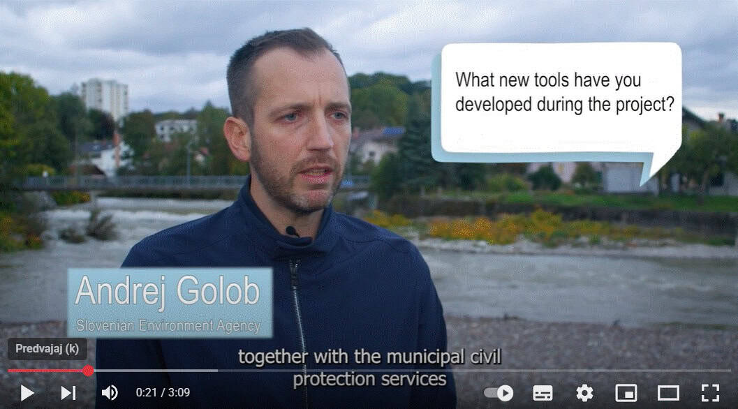
Recognizing the limitations of general forecasting systems, X-RISK-CC worked hand-in-hand with municipal civil protection services to co-design a specialized hydrological forecasting tool tailored to specific conditions. This new tool:
• Provides more detailed and localized forecasts
• Builds upon national-level hydrological warnings
• Helps emergency teams react faster and with greater precision
By tailoring forecasts to the realities on the ground, the system enables a faster and more effective response, ultimately helping to reduce damage and safeguard communities.
This work reflects the project’s broader goal: to support Alpine regions in adapting to the growing risks of climate change through locally adapted, data-driven solutions.
")